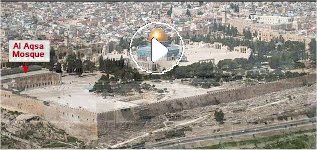
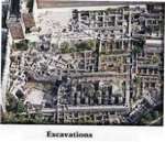
Aerial View of the
Temple Mount
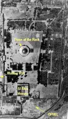
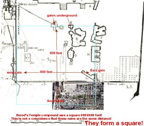
The Temple
complex was made up of a square, in a square, in a square. The
first
square was the Holy of Holies. The second was the sacred area that the
gentiles were not allowed to enter, and the last square was the outer
courts/court
of the gentiles.
Herod increased
the size of those outer courts. BUT IT REMAINED A SQUARE!
The increased
size of the compound after Herod's rebuilding was approximately 600 X
600
feet.
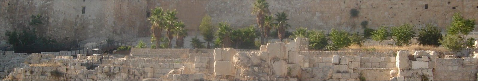
When
I saw this aerial photo of the Temple Mount in Jerusalem on Nov. 9,
2000
I could see that square clearly in the ruins. I was not surprised
to learn that the area that I believed contained the Temple compound,
or
complex, was exactly 600 feet by 600 feet!
Look for the Ophel Ruins at the
bottom of this
photo
 ..
..
This is a photo of the East
side of the Ophel ruins.
Excavation of this area began in 1967
..
click on photo for enlarged view
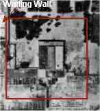
Warren's map pasted over this photo.

This is the southern half of a
the survey
map by the explorers, Sir Charles Wilson and Charles Warren in
1860's
and 70's.
This map shows the cisterns and structures
underground on the temple mount. It showed the ruins of old gates
under the Mount. I combined it with the picture of the Ophel
ruins,
with its exposed gate. Together this map and photo confirmed what
I had seen! Four gates, of North, West, East, and South
formed
a 600 foot square area. The same size of the Temple described by
Josephus Flavius an early historian who visited the Temple of Herod
before
it was destroyed in 70 AD.
The evidence of these gates and the other evidence
found in these maps, led me to create a diagram of the temple.

Click Here for larger
image.
This places the location of the first and second Temples under
the Al
Aksa mosque! Not under the Dome of the Rock.
Diagram of Solomon's in green and Herod's extended Temple complex in
blue laid over the photo.